dales
The DALES dataset.
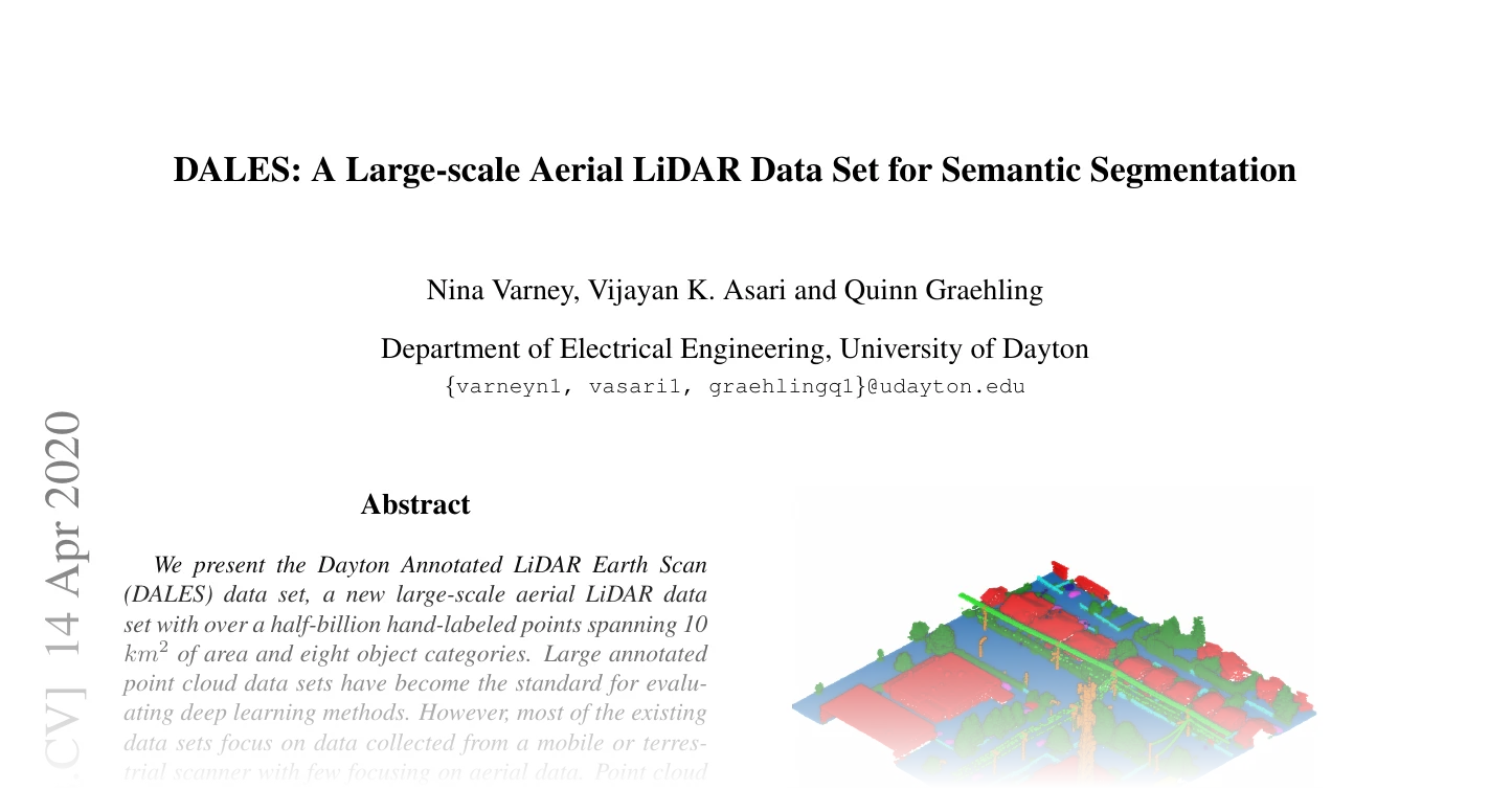
DALES: A Large-scale Aerial LiDAR Data Set for Semantic Segmentation by Nina Varney, Vijayan K. Asari, Quinn Graehling.
40 aerial LiDAR tiles of 500 x 500 m over the City of Surrey, British Columbia (UTM zone 10N), labelled with eight classes: 29 tiles for training and 11 for testing. The LAS release ships one .las file per tile.
Classes:
-
DALES–The DALES dataset.
Functions:
-
load_dales_data–Read a DALES LAS tile.
DALES(
    root: PathLike,
    *,
    train: bool = True,
    transform: Optional[
        Callable[[Dict[str, Any]], Dict[str, Any]]
    ] = None,
)
Bases: PointCloudDataset
The DALES dataset.
Each sample is one 500 x 500 m tile, returned as a dictionary:
| Key | Shape | Dtype | Meaning |
|---|---|---|---|
pos | \((N, 3)\) | float32 | UTM zone 10N metres, minus the tile's minimum corner |
return_number | \((N, 1)\) | int64 | Return number, 1-based |
number_of_returns | \((N, 1)\) | int64 | Number of returns of the pulse |
segment | \((N,)\) | int64 | Raw class id, 0-8 (0 = unknown, ignored) |
name | str | Tile file name without extension |
Reading the LAS files needs the optional laspy package.
Parameters:
-
root(PathLike) –Dataset root. Tiles are read from
<root>/DALES/raw/dales_las/<split>/<tile>.las, the layout of thedales_semantic_segmentation_las.tar.gzarchive extracted underraw/. -
train(bool, default:True) –Whether to load the 29 training tiles (the default) or the 11 test tiles.
-
transform(Optional[Callable[[Dict[str, Any]], Dict[str, Any]]], default:None) –Callable applied to each loaded sample dict at
__getitem__time.
Note
The raw dataset must be requested from the authors (the download form linked from data_url; the data are released under CC BY 3.0 for non-commercial use) and extracted by hand. The expected layout is <root>/DALES/raw/dales_las/{train,test}/<tile>.las.
Example
Methods:
-
download–DALES must be requested from the authors and downloaded by hand.
Attributes:
-
split(str) –Name of the split directory,
"train"or"test". -
split_dir(str) –Directory holding the
.lastiles of the split. -
name(str) –Name of the dataset directory.
-
data_dir(str) –Path to the dataset directory
<root>/<name>. -
raw_dir(str) –Path to the raw download directory.
-
processed_dir(str) –Path to the processed cache directory.
Read a DALES LAS tile.
Positions are returned relative to the minimum corner of the tile, subtracted in float64, so that the UTM coordinates (northings around \(5.4 \cdot 10^6\) m, where float32 resolves 0.5 m) keep their centimetre precision.
| Key | Shape | Dtype |
|---|---|---|
pos | \((N, 3)\) | float32 |
return_number | \((N, 1)\) | int64 |
number_of_returns | \((N, 1)\) | int64 |
segment | \((N,)\) | int64 |
Parameters:
-
path(PathLike) –Path to a
.lasfile.
Returns:
-
Dict[str, Tensor]–The point attributes, keyed by
DataKeys.segmentholds the raw class ids 0-8.